Geography & the World
Learn geography
Connect places, landscapes, settlements, migration, and borders to the physical and human processes that shape them.
Countries & regions
Places, regional identities, regional comparisons and the characteristics that distinguish parts of the world.
Indonesia as an island nation
Indonesia is more than 17,500 islands joined by sea routes, with over half its people on Java. See what that means for moving people and goods, and for the plan to put the capital on another island.
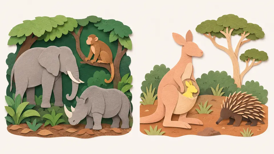
The Wallace Line and the animals it divides
Bali and Lombok are about 35 kilometers apart, yet Asia's animals stop at the strait between them. See why the depth of that water matters more than its width, and why the line keeps being redrawn.
The continents and regions of the world
Learn the seven continents and five oceans, why other countries count the continents differently, and how labels like Middle East and Latin America group the world by more than geography.
Africa and its regions
Africa holds 54 countries and more land than China, India and the United States put together. See why maps shrink it, the belts of desert and forest that cross it, where its people live and who drew its borders.
Cities & settlements
Cities, towns, rural settlements, urban growth, housing patterns and the spatial organization of activity.
Why cities grow where they do
Use Chicago and a simple business cluster to see how location, transport networks, crowding together and the costs of crowding shape where a city grows.
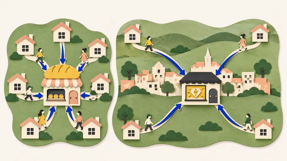
Why some countries have one giant city
Central place theory explains why bakeries are everywhere, jewelers are rare and big cities sit far apart. Then meet the countries that break the pattern, where one city dwarfs all the rest.
Urbanization and the move to cities
In 1800 fewer than one person in ten lived in a town. Now most people do. See why farms shed workers, why the answer depends on what counts as urban, and how China and Africa moved to cities.
Megacities and the world's largest cities
Which city is the biggest depends on where you draw its edge. See how city populations are counted, where the cities of ten million or more are, what it takes to run one, and why some have stopped growing.
Landscapes & waterways
Mountains, deserts, plains, coasts, rivers, lakes, islands and oceans as connected places.
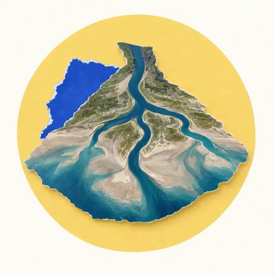
River deltas and the people living on them
Follow sediment from a river into a delta, and see why flood protection, sinking land and rising seas can pull a coastal landscape in different directions.
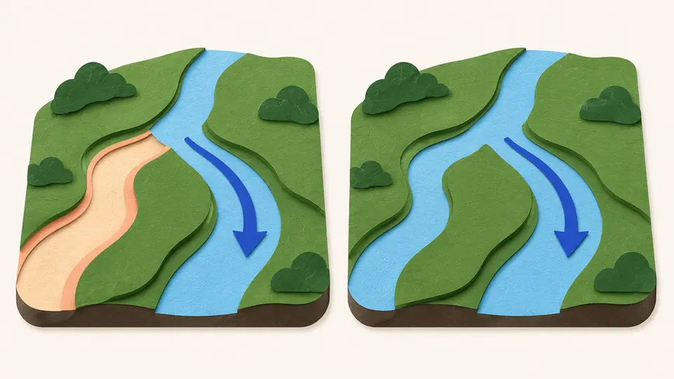
Why a river abandons its own channel
Rivers switch course, sometimes moving their mouths by hundreds of kilometers. See why a growing delta makes its own channel unstable, what a delta's branches record, and how floodgates hold the Mississippi where it is.
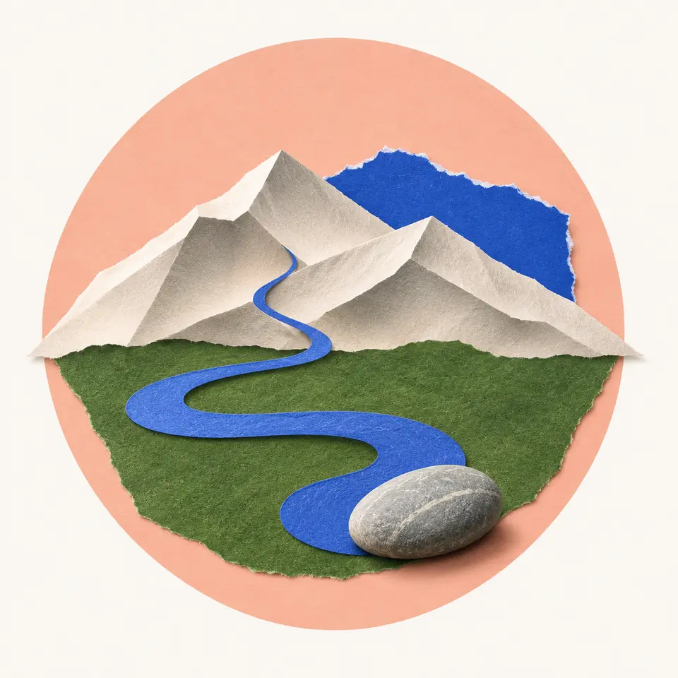
Rivers from source to sea
Follow a river from the ridges that feed it to its mouth. Learn what a drainage basin is, why rivers meander and flood, what levees can't stop, and how one river cut the Grand Canyon.
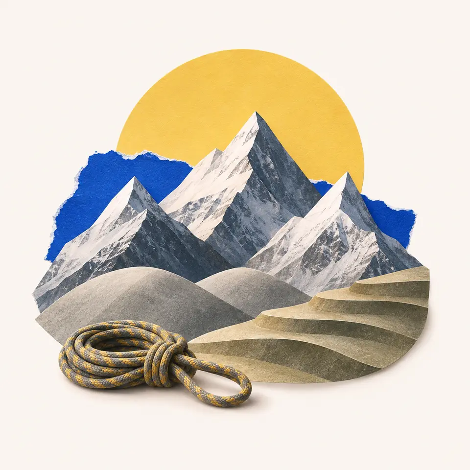
The world's great mountain ranges
Find the two belts that hold the Andes, Rockies, Alps and Himalayas. See why young ranges are sharp and old ones worn low, how mountains split climates and store water, and how people live high up.
Climate zones & biomes
Climate regions, seasonal patterns, habitats and the geographic distribution of environmental conditions.
Why deserts form where they do
See how global air circulation and mountain rain shadows make deserts, and how coastal and polar deserts show that a desert doesn't have to be hot or sandy.
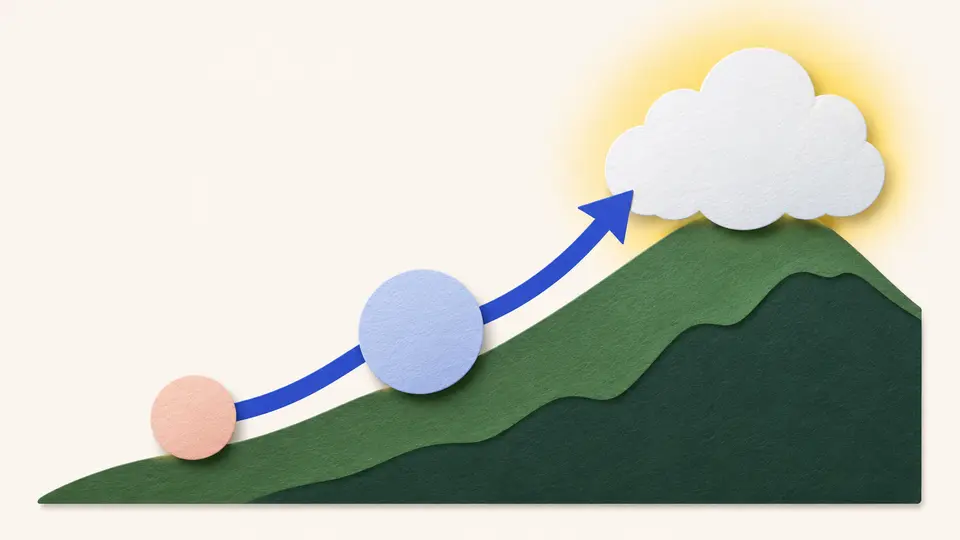
How mountains make rain and rain shadows
A mountain range in the wind's path wrings rain out of the air on one side and leaves the other side dry and warm. Both effects come from the same climb and descent.
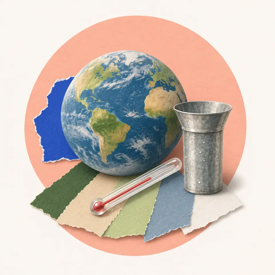
The world's climate zones
Learn the five main climate groups, tropical, dry, temperate, continental and polar. See how latitude, the sea and altitude decide which one a place gets, how to read a climate graph, and how the map is shifting.
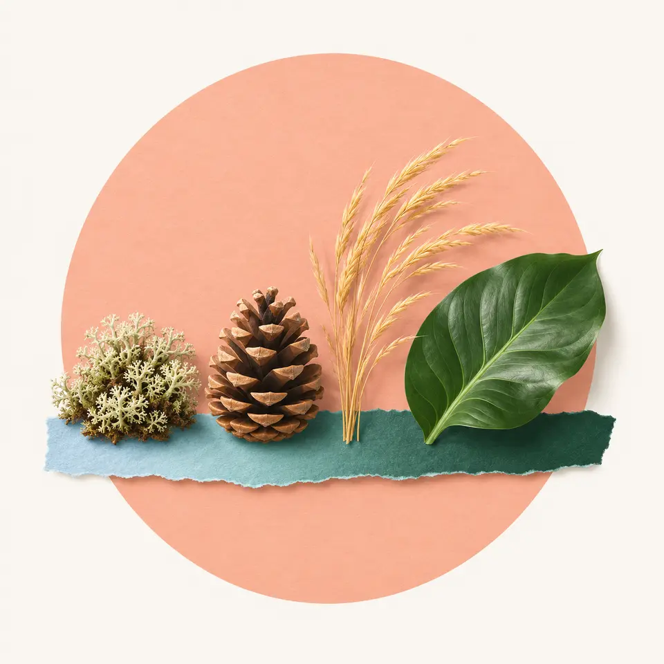
Biomes of the world
A biome is a large region whose plants and animals are set by climate. Tour the main ones, see why temperature and rainfall predict what grows, and find out where fire and farming break the rule.
People & migration
Population distribution, demographic change, migration, diasporas and patterns of human settlement.
Reading a population pyramid
Read a chart of a population by age and sex, and follow a generation as it moves up the chart over time. The shape tells you who lives in a place, and other evidence has to explain why.
Fertility rates and the demographic transition
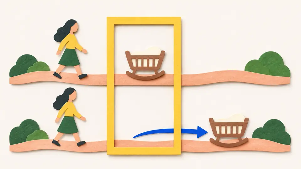
The total fertility rate is one of the most quoted numbers in the world and one of the most misread. See what it measures, what replacement means, and how falling deaths and then falling births reshape a population.
World population and how it grew
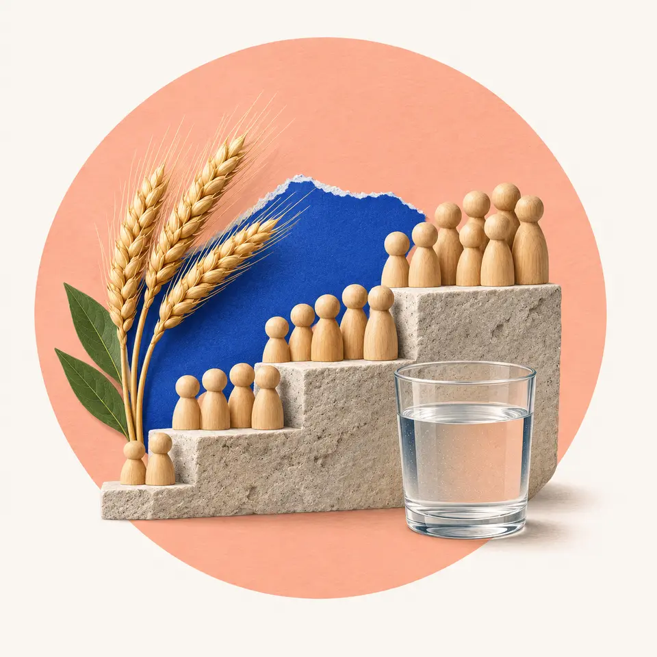
It took all of history to reach one billion people around 1804 and 218 years more to reach eight billion. See what set off the growth, why it's slowing, and what the forecasts for 2100 rest on.
Where people live and why
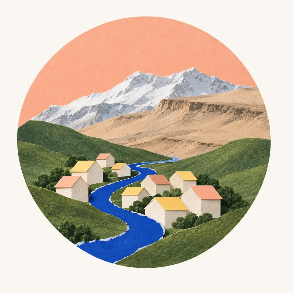
Most of humanity lives on a small part of the land. See the crowded lowlands and the nearly empty cold and dry lands, how water, soil and history explain the map, and how to measure crowding fairly.
Borders & territories
Boundaries, enclaves, territorial arrangements, disputed places and the geography of political control.
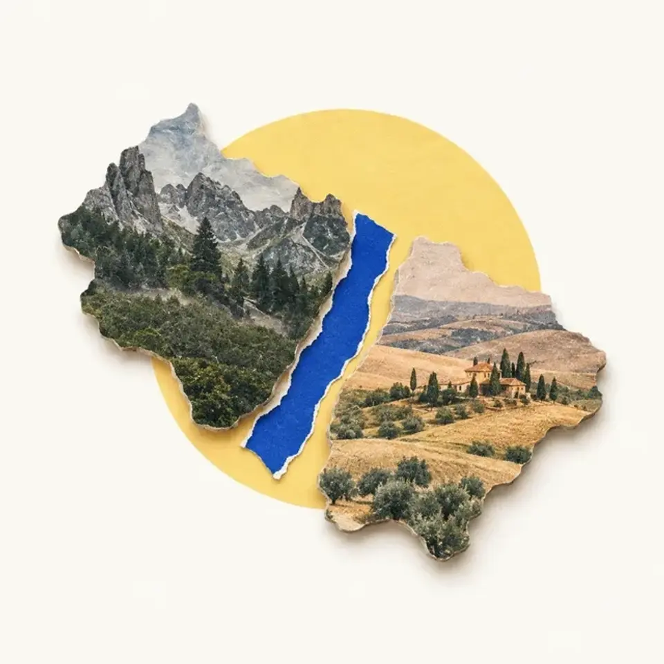
Enclaves and the border at Baarle
Baarle is one town made of 30 pieces of Belgium and the Netherlands. See how to read its map, where the patchwork came from, and how two mayors run one set of streets.
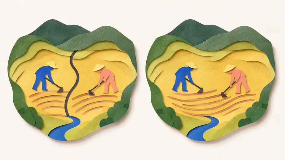
Shared territories and the land nobody claims
Some territories are ruled by two states at once, and one patch of desert is claimed by none. See how shared rule works, why it rarely lasts, and why Egypt and Sudan both refuse Bir Tawil.
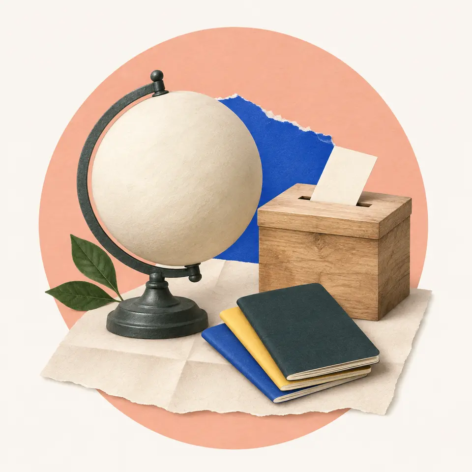
What makes a country a country
There's no single official list of countries. Learn the four tests of a state, why the UN has 193 members while other lists run longer, and how a state, a nation and a country differ.
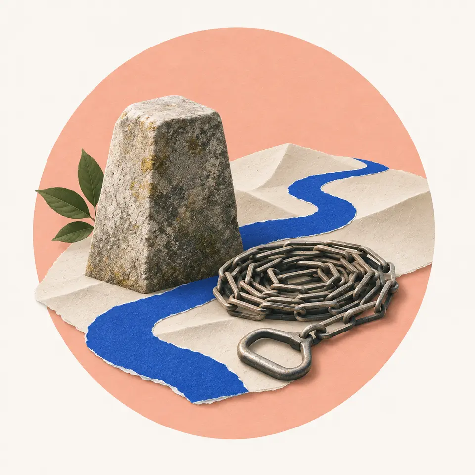
How borders are drawn
Borders follow rivers, ridges, lines of latitude and old treaties. Learn how a line is agreed, marked on the ground and kept, why so many are straight, and what happens when a river border moves.
Resources & land use
Agriculture, resources, production locations, development, settlement pressures and human uses of land and water.
The Mekong, one river shared by six countries
Follow the Mekong's water across six countries, watch Tonle Sap reverse with the seasons, and see why sharing river data helps neighbors cooperate.
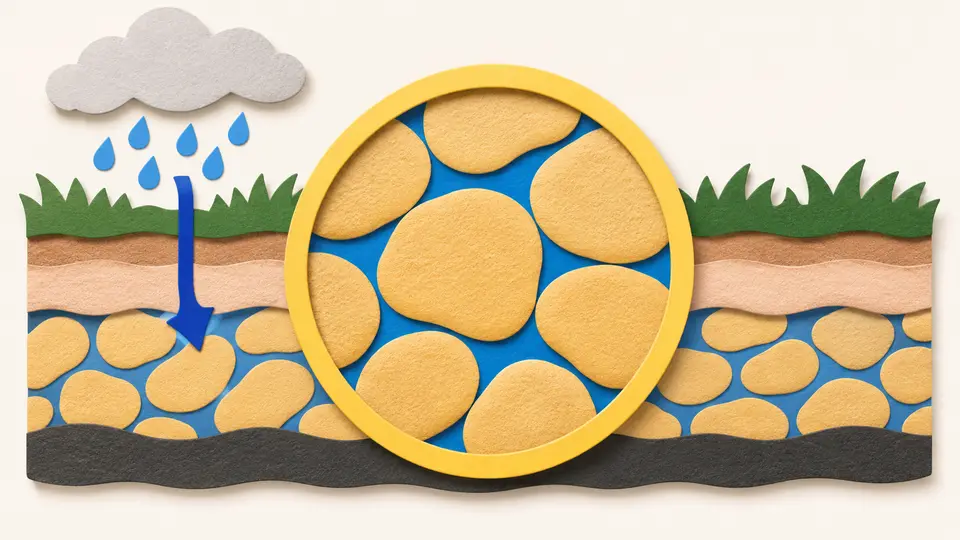
Aquifers and the water table
Groundwater sits in the pores of rock, not in caverns. See what an aquifer and the water table are, why some groundwater moves a foot a day, and why some is never replaced.
How the world's land is used
Split the planet's land into farms, forest, wild land and cities. See why farming takes almost half of all habitable land, why livestock takes most of that, and how little is built on.
Where the world's food is grown
A few regions grow most of the grain that's traded. See where the breadbaskets are, what soil, rain and season they share, why farms specialize by distance, and why some countries depend on imports.
Maps & navigation
Maps, projections, coordinates, spatial data, navigation and interpreting geographic information.
Why flat maps distort the world
See why flattening a globe always costs something, and how to pick a projection that keeps what your question needs, whether that's area or angles.
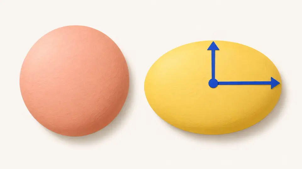
Great circles and rhumb lines, two routes across an ocean
The shortest route across an ocean is a great circle, and the easiest one to steer is a rhumb line. See how they differ, what the difference costs, and why sailors took the longer one for centuries.
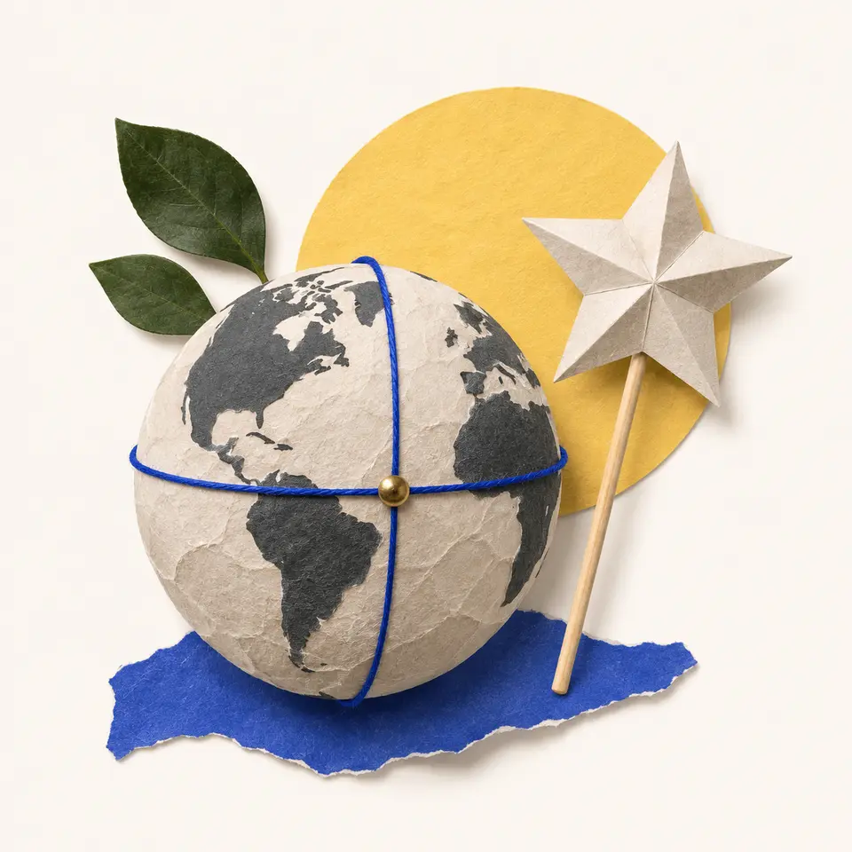
Latitude and longitude
Two numbers pin down any spot on Earth. See what latitude and longitude measure, why the equator is natural and the prime meridian was chosen, and how to read coordinates on a map or phone.
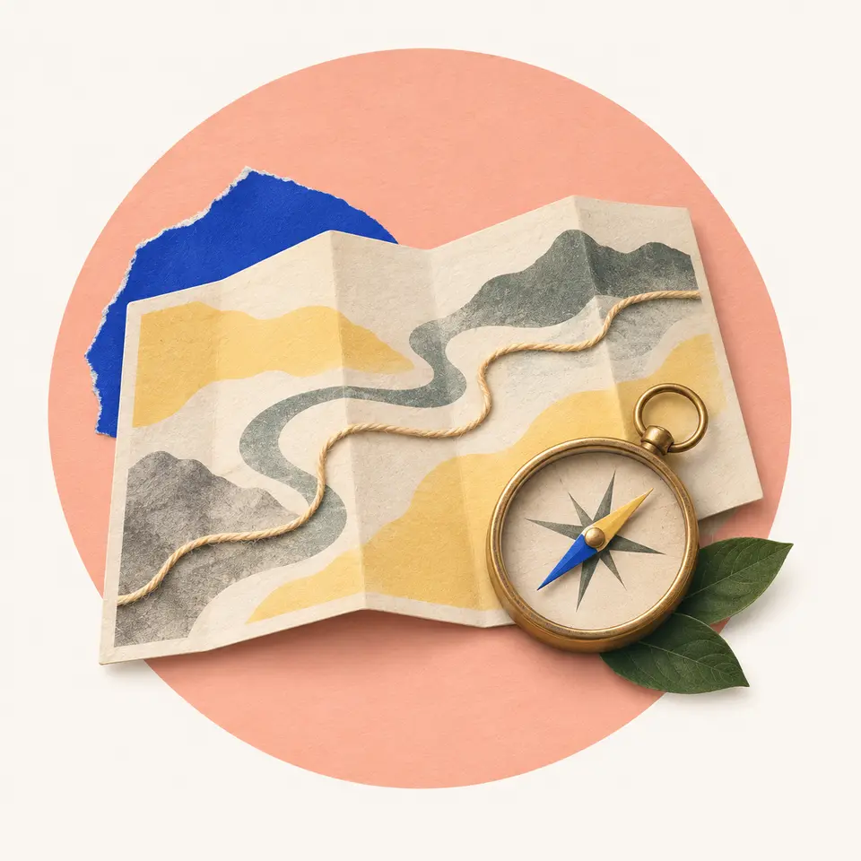
How to read a map
Learn the parts every map shares, which are scale, legend, north and grid. Work out real distances, decode symbols and grid references, and judge what the mapmaker left out, on paper or on a phone.
Guided paths in Geography & the World
- Places, connections and boundariesStart with what every flat map distorts, then follow landscapes, cities, people and borders to a river several countries share. 8 topics.
- Where the obvious answer falls shortEach step takes something that looks simple and shows what's actually behind it. The route runs from air and water to lines on maps, then ends with people. 8 topics.