Geography & the World · Countries & regions
The continents and regions of the world
Learn the seven continents and five oceans, why other countries count the continents differently, and how labels like Middle East and Latin America group the world by more than geography.
What you will learn
- Name the seven continents and the five named oceans and say roughly where each lies
- Explain why the number of continents depends on convention
- Explain how region labels such as Latin America and sub-Saharan Africa group countries by things other than continents
- Explain what the label Middle East assumes and why some people object to it
Lesson 1 of 4 · 4 min
Seven continents, or six, or five
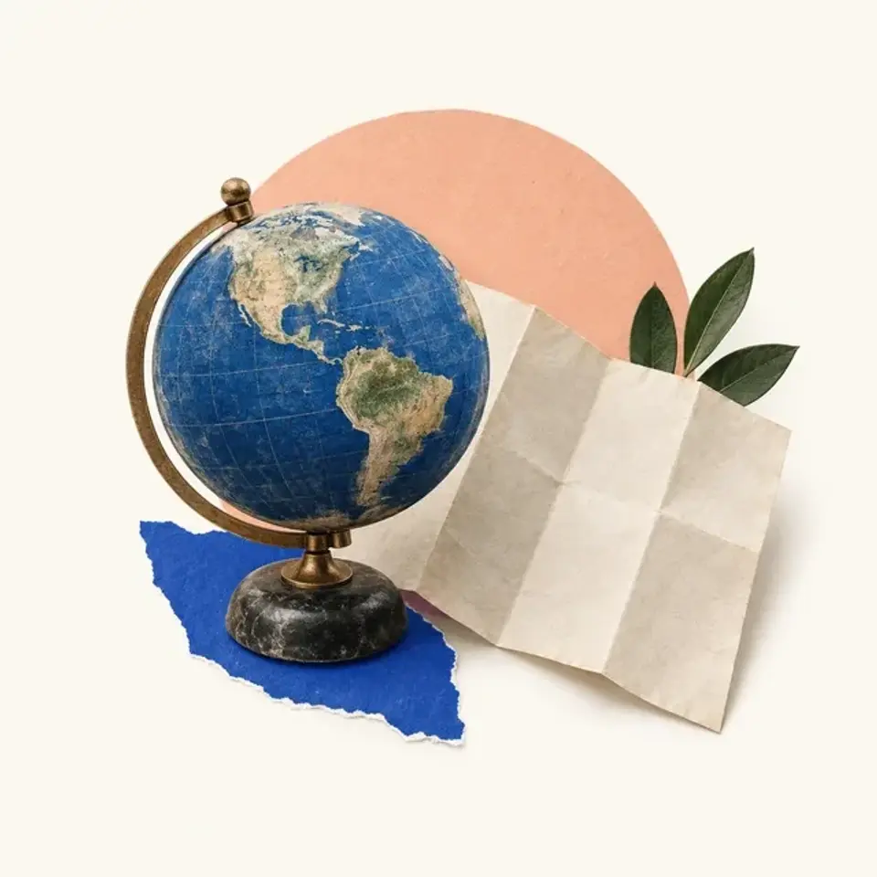
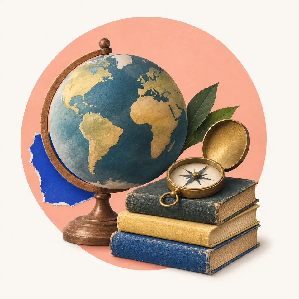
Spin a globe and most of what you see is water. NOAA counts one global ocean, covering 71% of the planet, split into named parts. Most countries now name five, the Pacific, Atlantic, Indian, Arctic and Southern, the last one ringing Antarctica.
The land sits in big blocks between those waters. In English-speaking countries, children learn seven continents. From largest to smallest, they are Asia, Africa, North America, South America, Antarctica, Europe and Australia.
A simple map in your head helps. The Atlantic separates the Americas from Europe and Africa. The Pacific, the largest ocean, lies between Asia and Australia on one side and the Americas on the other. The Indian Ocean sits south of Asia, between Africa and Australia.
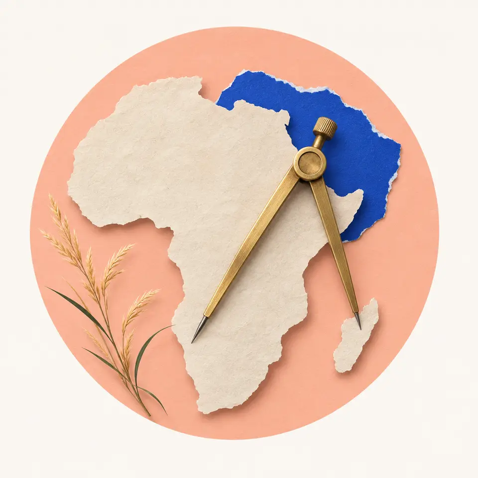
By the usual idea, a continent is a large mass of land, ideally separated by water. But only two of the seven, Antarctica and Australia, are fully surrounded by ocean. Africa joins Asia at the narrow Isthmus of Suez, and the two Americas join at Panama.
So every count is a convention, a rule people agree on. Much of Latin America and Greece teach one America, which makes six. Russia and parts of Eastern Europe often teach one Eurasia, which also makes six. The five Olympic rings stand for the five inhabited continents, with the Americas as one and Antarctica left out.
Size is a choice too. Greenland is called the world's largest island, and Australia, only a few times bigger, is the smallest continent. Nothing in the rock draws that line.
Try to recallWhy do some countries teach six continents while others teach seven?
A continent is a convention, not a fixed natural unit. Most continents touch another by land, so whether to split them is a choice. Latin America and Greece often treat the Americas as one continent, and Russia often treats Eurasia as one, which gives six.
You can now place the seven continents and five oceans on a map. You also know the count is a convention, because most continents touch by land and countries choose differently where to split them.
Lessons in this topic
Seven continents, or six, or five
Learn where the seven continents and five oceans sit, and why schools in other countries count the continents differently.
What "Middle East" and "Latin America" assume
See how region labels group countries by culture, direction or a desert, and ask of each one what it groups by and from whose point of view.
Where Europe ends and Asia begins
Follow the line usually drawn between Europe and Asia, and see how people moved it over 2,500 years, deciding the tallest mountain in Europe along the way.
Zealandia and the edge of a continent
See how geologists define a continent by its rock, not its coastline, and why some argue a mostly drowned block around New Zealand counts as one.
Three quick stories from this topic
Europe's movable summit
Europe's highest mountain depends on where you draw the line with Asia
Mount Elbrus, at 5,642 meters, stands 11 kilometers north of the Caucasus crest. Draw the line along the crest and Elbrus wins. Draw it north of the mountains and Mont Blanc, at about 4,807 meters, takes the title.
A line people chose
Europe and Asia sit on one landmass, and the boundary has moved from the Phasis to the Don to the Urals.
Still unsettled
Geographers have never agreed on one line through the Caucasus.
Only two stand alone
Only two of the seven continents, Antarctica and Australia, are wholly surrounded by sea
Africa touches Asia at the Isthmus of Suez, and the two Americas meet at Panama. Europe and Asia share one landmass. A continent is meant to be land ideally separated by water, but five of the seven break that rule.
So the count varies
Much of Latin America teaches six continents with one America, and Russia often teaches one Eurasia.
A size convention too
Greenland is the world's largest island, while Australia is called the smallest continent.
The drowned continent
Zealandia is a continent-sized block of crust, and 94% of it lies under the sea
It covers about 4.9 million square kilometers around New Zealand and New Caledonia. It sank after breaking from Gondwana, because its crust stretched thin. Geologists argued in 2017 that it meets every test for a continent.
Judged by rock
Geologists define a continent by thick, silica-rich crust, not by dry land.
Too big for a fragment
It's about six times the size of Madagascar, the next-largest microcontinent.
Sources
- Continent, Wikipedia
- How many oceans are there?, NOAA National Ocean Service
- Pacific Ocean, Wikipedia
- Atlantic Ocean, Wikipedia
- Indian Ocean, Wikipedia
- Mount Elbrus, Wikipedia
- Mont Blanc, Wikipedia
- Boundaries between the continents, Wikipedia
- Zealandia: Earth's hidden continent, GSA Today, Geological Society of America (Mortimer and others, 2017)
- Zealandia, Wikipedia