Geography & the World · Borders & territories
How borders are drawn
Borders follow rivers, ridges, lines of latitude and old treaties. Learn how a line is agreed, marked on the ground and kept, why so many are straight, and what happens when a river border moves.
What you will learn
- Describe natural and geometric borders and where geometric ones are common
- Explain why a river or mountain border still needs a precise rule
- Tell delimitation, agreeing a line on paper, from demarcation, marking it on the ground
- Explain why borders need upkeep and why markers can outrank the original line
Lesson 1 of 4 · 4 min
Rivers, ridges and ruled lines
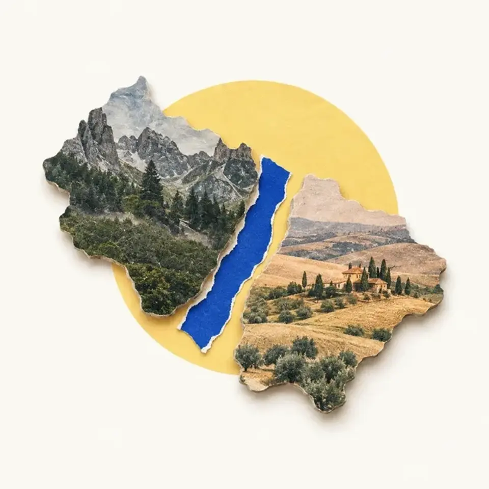
Fly over the western prairie and the border with Canada is invisible. It follows the 49th parallel for about 3,500 km, a line nobody can see. Fly over the Andes and the Chile and Argentina border runs along a wall of peaks for over 5,000 km.
Those are the two big families. Natural borders follow features that already block travel, such as rivers, lakes, mountain ranges and dense forest. Geometric borders are straight lines or arcs, often of latitude or longitude, drawn with no regard for the land or the people on it.
Even a natural border is a human choice. A river doesn't become a border by itself. People decide to use it.
Straight lines cluster in North America, Africa and the Middle East. These are places where states grew out of colonies, so the lines were often drawn by distant governments. Older borders in Europe and Asia follow natural features more often.
A river is wide, so which part is the border? International law usually picks the thalweg, the middle of the main channel that boats use. Some neighbors pick the midpoint between the banks instead.
Mountains need a rule too. In 1881, Chile and Argentina agreed the border would follow the highest summits of the Andes that divide the waters. In the north, the tallest peaks and the line where rain splits east or west were the same.
In Patagonia, rivers cut through the range, so the two rules disagreed. Argentina wanted the peaks and Chile wanted the water divide. Britain's King Edward VII settled it by arbitration in 1902.
Try to recallThe 1881 treaty said the Chile and Argentina border follows the Andes. Why did it still need an arbitration in 1902?
The treaty said the line follows the highest summits that divide the waters. In Patagonia, rivers cut through the range, so the highest peaks and the water divide were in different places. Each country picked the version that gave it more land, so a neutral arbiter had to decide.
You can tell natural borders from geometric ones and say why straight lines cluster in former colonies. You can also explain why a river or ridge needs an exact rule, such as the thalweg or the water divide.
Lessons in this topic
Rivers, ridges and ruled lines
Learn the main kinds of border, why straight ones cluster in some regions, and why a river or a mountain range still needs an exact rule.
From a line on paper to stones on the ground
Learn the difference between agreeing a border and marking it, and why marked lines need upkeep for centuries.
Lines drawn in distant capitals
Learn how European powers carved up Africa and the Middle East, why new states kept the lines, and what research says about the damage.
When the river moves, does the border move too
Learn the rule for slow and sudden river changes, and how a flood on the Rio Grande led to a century-long dispute over part of El Paso.
Three quick stories from this topic
What Berlin really drew
The Berlin Conference of 1884 fixed almost none of Africa's borders
A 2024 study found it set borders only around the Congo, and those changed later. Most of Africa's lines took their final form over 20 years later, in deals between pairs of colonial powers.
What it did do
Fourteen countries agreed rules for claiming African land, such as effective occupation. No African state was invited.
Why the myth lasts
The conference sped up the scramble for Africa, so it's often blamed for the whole partition. Scholars warn against overstating its role.
El Paso's land swap
In 1967 the United States handed 630 acres of El Paso to Mexico
Floods in the 1860s had moved the Rio Grande south, leaving Mexican land on the US side. After a dispute of about a century, more than 5,600 residents moved out.
The rule at stake
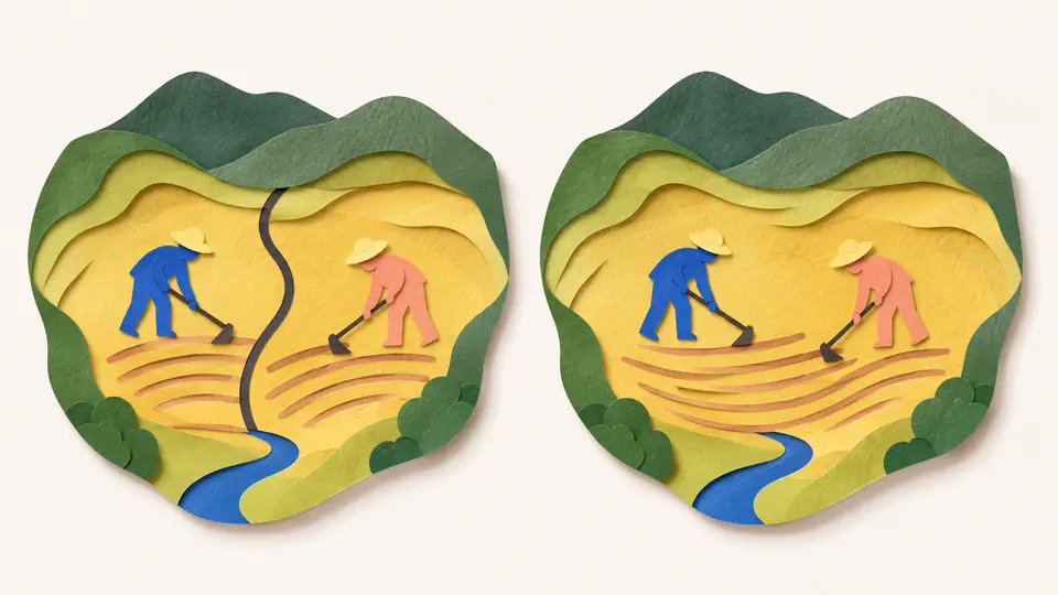
A slow river shift moves the border, but a sudden one doesn't. The two countries argued over which kind this was.
Pinning the river
The settlement lined the Rio Grande with a concrete channel, so it couldn't wander and move the border again.
The stage in another country
A theater on the Canada and US border has its stage in Quebec and most seats in Vermont
The Haskell Free Library and Opera House opened in 1904, built on the border on purpose. A black line across the floor marks where one country ends.
Two addresses
The building has one address in Derby Line, Vermont, and another in Stanstead, Quebec. The books are on the Canadian side.
Older than the rule
Today the boundary commission must approve any building within three meters of the line. Buildings that straddle it date from before that rule.
Sources
- Border, Wikipedia
- Argentina-Chile border, Wikipedia
- Thalweg, Wikipedia
- Boundary Treaty of 1881 between Chile and Argentina, Wikipedia
- Berlin Conference, Wikipedia
- Chamizal dispute, Wikipedia
- Haskell Free Library and Opera House, Wikipedia