Geography & the World · Borders & territories
Enclaves and the border at Baarle
Baarle is one town made of 30 pieces of Belgium and the Netherlands. See how to read its map, where the patchwork came from, and how two mayors run one set of streets.
What you will learn
- Explain what an enclave is and spot territories nested inside each other.
- Tell a continuous town apart from the political territories inside it.
- Explain how older property and political arrangements can shape later borders.
- Tell a boundary's history apart from the assumption that it was designed for today's convenience.
Lesson 1 of 4 · 3 min
How can a border run through a bedroom?
In the town of Baarle, a couple can share one bed and sleep in two countries. The border between Belgium and the Netherlands runs through streets, houses and even bedrooms here.
The local tourist office counts 30 separate pieces of territory, 22 of them Belgian and 8 Dutch. Fewer than 10,000 people live among them. So how do you read a map like that?
An enclave is a piece of territory completely surrounded by another territory. The same piece is an exclave when you look at it from the state it belongs to.
So each of those 22 Belgian pieces is an enclave inside the Netherlands and an exclave of Belgium. The first word tells you what surrounds a place. The second tells you which state owns it.
Now nest them. Seven of the eight Dutch pieces lie inside the two largest Belgian enclaves. So you have the Netherlands, then a piece of Belgium inside it, then a piece of the Netherlands inside that.
Walk across one and you go from Dutch ground to Belgian and back to Dutch. You've changed jurisdiction, meaning whose laws apply, twice. You never left town, and no river or ridge marked the change.
The town's two names keep the owners apart. Baarle-Hertog is the Belgian municipality and Baarle-Nassau is the Dutch one. Each has its own mayor.
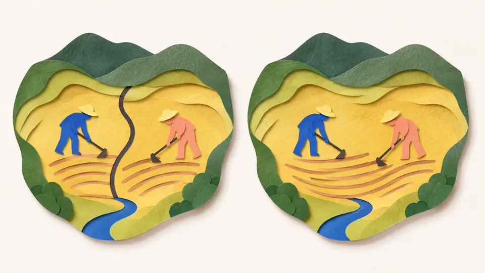
But people live in one continuous town, and both municipalities are woven through it. A town, as a place where people live, doesn't have to match a single government.
By eye, it's all one red-brick town. So Baarle marks the line for you. White crosses on the pavement carry NL on one side and B on the other, and house numbers show their country's flag.
One house on the street called Loveren needs two numbers. The border runs through the middle of its front door, so it's number 19 in the Netherlands and number 2 in Belgium.
Everyday speech lumps three things together. There's the town where people live, the municipality that runs local services, and the state whose border it is. In most places their outlines match, so you never notice they're separate.
Baarle pulls them apart. It's one town, run by two municipalities that belong to two states. To read its map, ask of any spot what surrounds it and which state owns it.
Try to recallWhy can Baarle look like one town even though a short walk there crosses an international border several times?
The town is continuous, but it contains interlocking Belgian and Dutch territories. Streets and buildings don't have to stop at administrative boundaries.
Lessons in this topic
How can a border run through a bedroom?
Learn to read Baarle's map, where 22 pieces of Belgium sit inside the Netherlands and some of them hold Dutch pieces of their own.
How a medieval land deal became a national border
Follow Baarle's patchwork from a land deal in 1198 to a border made official in 1995, and see why nobody ever straightened it.
Who fixes a street that keeps changing countries?
See why Baarle's roads, pipes and streetlights take two mayors to fix, and why a front door can decide a building's town hall but never a person's nationality.
Why India and Bangladesh swapped enclaves and Baarle didn't
Compare the enclaves Baarle kept with the ones India and Bangladesh swapped in 2015, and see what a swap changes for the people living there.
Three quick stories from this topic
A border inside a border
Baarle has 22 pieces of Belgium inside the Netherlands, and Dutch pieces inside those
Seven Dutch enclaves sit inside the two largest Belgian ones. On the street called Loveren the border runs through a front door, so the house is number 19 in the Netherlands and number 2 in Belgium. The patchwork preserves a division of farmland made in 1198.
The town looks like one place
The lines run across streets and through some buildings. Looking around won't necessarily tell you which country you're in.
Read the territorial layers
Ask what surrounds a parcel and which state it belongs to. Those questions get you further than assuming one visible town has one national outline.
The enclaves Germany could not reach
Germany occupied most of Belgium in 1914 but couldn't reach the Belgian enclaves at Baarle
German troops would have had to cross a few kilometers of the neutral Netherlands. So the Belgian army smuggled in a radio station, with small parts hidden under vegetables in a dog cart. From October 1915 it could intercept German messages there.
A refuge inside a neutral country
Out of German reach, the enclaves sheltered no fewer than 24,000 Belgian refugees at the start of the war.
Why the line held
Marching across Dutch ground would have violated Dutch neutrality and risked bringing the Netherlands into the war. Germany also needed Dutch ports to stay open for its imports.
The swap where almost nobody moved
India and Bangladesh swapped 162 enclaves at midnight, and almost nobody moved
It happened on July 31, 2015, when 111 Indian enclaves in Bangladesh and 51 Bangladeshi enclaves in India changed country. Residents could keep their old nationality by relocating. Only 987 of the 37,369 people in the Indian enclaves did, so most changed country without leaving home.
Why swap instead of cooperating
India's foreign ministry explained that the enclaves lay deep inside the other country with no physical access. So residents lacked full legal rights, electricity, schools and health services. Baarle-style cooperation needs a state that can reach its own territory.
A new state, but no instant services
Residents could stay as nationals of the receiving state or relocate. Only 987 of the 37,369 people in the former Indian enclaves chose to move to India. A 2017 study found many new citizens still without electricity, land papers and voter cards.
Sources
- 30 enclaves, 2 municipalities, 2 countries, Visit Baarle
- Europe's strange border anomaly, BBC Travel
- Enclave H7 (Belgian), Visit Baarle
- History, Visit Baarle
- Nederlanders misleid, Duitsers getart: het radiostation van Baarle-Hertog, VRT NWS
- India and Bangladesh Land Boundary Agreement, Ministry of External Affairs, Government of India
- The 2015 India-Bangladesh land boundary agreement: Identifying constraints and exploring possibilities in Cooch Behar, Observer Research Foundation