Guided path · Geography & the World
Places, connections and boundaries
Start with what every flat map distorts, then follow landscapes, cities, people and borders to a river several countries share.
Why flat maps distort the world
Begin with the map itself, and what it gives up when it flattens the globe.
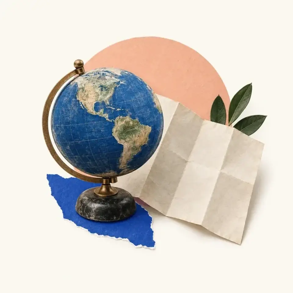
Indonesia as an island nation
Now read the map of one country. Indonesia is more than 17,500 islands, with over half its people on Java.
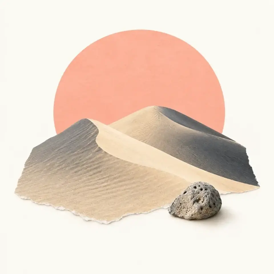
Why deserts form where they do
From islands and sea routes, turn to climate. Global air circulation and mountain rain shadows decide where deserts form.
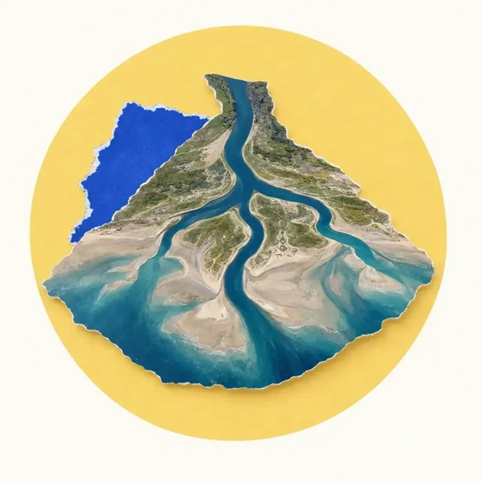
River deltas and the people living on them
Deserts lack water. Deltas are built by it, and flood protection, sinking land and rising seas pull them in different directions.
Why cities grow where they do
Waterways build cities too. Use Chicago to see how location and transport links shape where a city grows.
Reading a population pyramid
A city is its people. Sort a population by age and sex, then follow a generation up the chart over time.
Enclaves and the border at Baarle
Borders sort people as well. In Baarle, one town is made of 30 pieces of Belgium and the Netherlands.
The Mekong, one river shared by six countries
A border divides land, but a river crosses it. Finish with the Mekong, whose water six countries share.
More guided paths
- Where the obvious answer falls shortEach step takes something that looks simple and shows what's actually behind it. The route runs from air and water to lines on maps, then ends with people. 8 topics.
- The fine print in health numbers and adviceIn each step you read one piece of health guidance closely, starting with numbers from your own body and moving out to the treatments and tests you might be offered. 8 topics.
- Your body and the evidence about itFollow the body's systems at work, then read claims about health without jumping to a diagnosis. 8 topics.
- The practical side of historySee how things actually worked in the past, from counting grain to holding a trench line. After a first step on archaeology, the route runs roughly forward in time. 8 topics.