Geography & the World · Climate zones & biomes
Why deserts form where they do
See how global air circulation and mountain rain shadows make deserts, and how coastal and polar deserts show that a desert doesn't have to be hot or sandy.
What you will learn
- Connect tropical air circulation with dry subtropical regions.
- Tell an arid climate apart from a place that's merely hot.
- Explain the basic sequence that produces a mountain rain shadow.
- Use wind direction to identify windward and leeward sides.
Lesson 1 of 4 · 4 min
Why do many deserts sit away from the equator?
The equator gets the Sun's strongest heating. Yet the Sahara, the Mojave and many other hot deserts lie well to its north or south. So heat alone can't explain where deserts are.
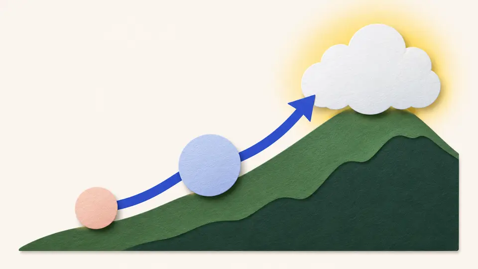
What explains it is moving air. One loop of air lifts water over the tropics, drops it there as rain, and comes back down far away with little left to give.
Near the equator, warm, humid air rises. As it climbs it cools, and its water vapor condenses and falls as rain.
About 10 to 15 kilometers up, the air stops climbing and flows away from the equator, north on one side and south on the other. It has already dropped much of its water.
Farther out, that air sinks back toward the ground. It's dry by then, so the land under it gets little rain.
The air comes down at roughly 30 degrees north and south of the equator, in two belts called the horse latitudes. Joshua Tree National Park in California lies between 33 and 35 degrees north. The National Park Service calls that an ideal latitude for a desert.
The belts are a broad pattern, though. Mountains, ocean currents and the seasons also decide where rain falls.
A common rule calls a place a desert if it gets no more than 10 inches of rain or snow a year, about 250 millimeters. The National Park Service calls that rule incomplete, because many places that dry aren't deserts.
What's missing is the water going back out. Aridity means how scarce water is, and it depends on how much falls and how much evaporation takes away. In American deserts, the Park Service puts the rate of evaporation at 70 to 160 inches a year. Open water there would vanish many times faster than rain could refill it.
The rule says nothing about heat or sand. The US Geological Survey says deserts may be hot or cold, and sandy or covered in rock and gravel, but they're always dry.
So cold deserts exist. Polar deserts are freezing and arid at once, and their ground is mostly bare bedrock or gravel. Temperature, surface and water are three separate traits of a place. Only the water makes it a desert.
So to explain any desert, ask about its water first. What keeps the rain away? For many of the big hot deserts, the answer is sinking air near 30 degrees. And how fast does the air take back what does fall?
Heat and sand come last. They describe a desert, and they say nothing about why it's dry.
Try to recallWhy can a cold place be a desert?
What makes a desert is very limited precipitation or available water, and high temperature isn't required. Polar deserts show that a place can be both cold and arid.
Lessons in this topic
Why do many deserts sit away from the equator?
Follow one loop of air from the rainy equator to the dry belts near 30 degrees, and see why dry and hot are separate things.
How can one mountain have a wet side and a dry side?
Follow a storm over the mountains west of Joshua Tree to see how a rain shadow forms, and why the dry side depends on the wind.
How can a desert sit beside the ocean?
See why two of the driest places on Earth lie on ocean coasts, why fog isn't rain, and why some deserts are frozen.
Where does a desert end?
Use the standard rainfall lines to tell desert from steppe, then see why two places with the same yearly rain can keep different amounts of water.
Three quick stories from this topic
A year's rain in hours
A single storm can bring Joshua Tree's desert 5 to 10 inches of rain in a few hours
The park lies in a rain shadow, behind peaks that take the water out of winter storms from the coast. But in late August or September, a tropical storm sometimes comes up from the south and drops a large part of the year's rain at once.
Why Joshua Tree is usually dry
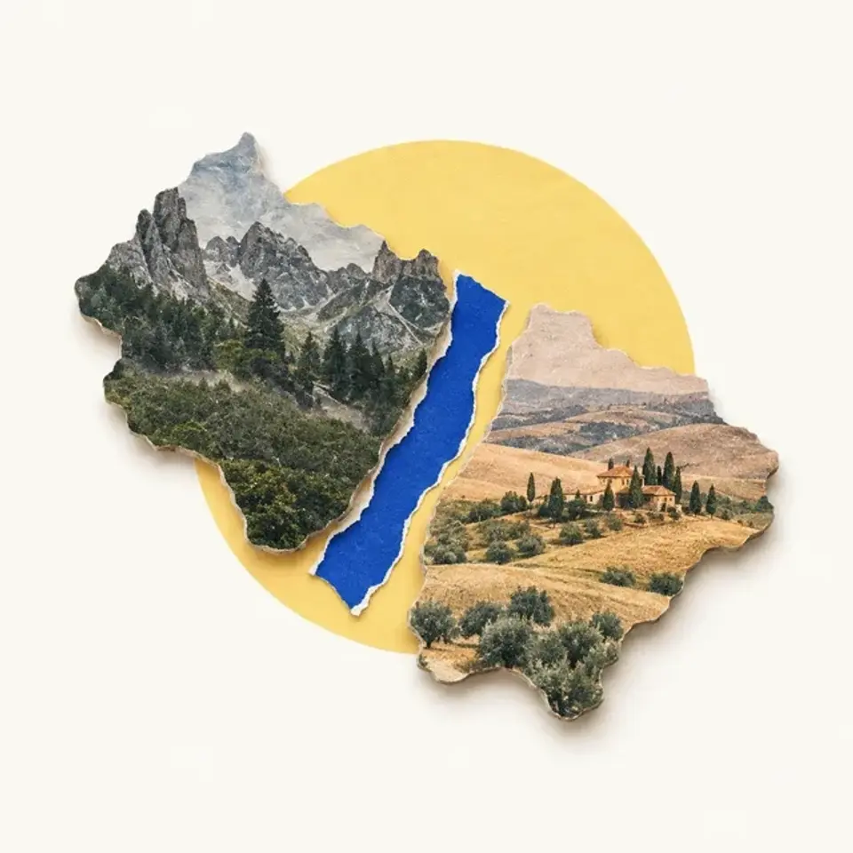
Coastal storms from the west hit Mount San Jacinto and Mount San Gorgonio, both over 10,000 feet. The air rises, cools and drops its water there, so little moisture reaches the desert beyond.
A rain shadow has a direction
The mountains only take the water from storms that cross them. Storms from the south end up on the east side of the ranges, the same side as the desert.
The beetle that drinks fog
A beetle in the Namib desert drinks fog that condenses on its own back
Parts of the Namib get less than 10 millimeters of rain a year, but fog rolls in from the cold Atlantic on many mornings. Droplets form on the beetle's smooth back and roll down to its mouth.
Fog isn't rain
A cold current along the coast chills the sea air into fog, and warmer air above holds it down. The damp air rarely rises high enough to rain.
A desert beside an ocean
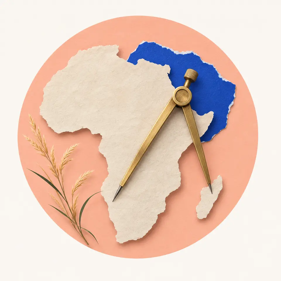
The Namib lies along the Atlantic coast of southern Africa. Its coastal parts can have thick fog on more than 180 days a year, and still almost no rain.
The driest coast on Earth
The driest desert outside the polar regions runs along the Pacific Ocean
In parts of Chile's Atacama, measurable rain, a millimeter or more, may come only once every 5 to 20 years. A cold current offshore keeps the sea air cool and low under warmer air, so it makes fog and almost never rain.
Mountains on both sides
The driest part of the Atacama lies between the Andes and the Chilean Coast Range. Both are high enough to stop moist air arriving from either ocean.
Water nearby isn't rain
Rain needs moist air to rise and cool. Along this coast the cold Humboldt Current helps hold the air down, so an ocean sits beside land that almost never gets rain.
Sources
- A global look at moving air: atmospheric circulation, UCAR Center for Science Education
- Deserts: Joshua Tree National Park, US National Park Service
- Types of deserts, US Geological Survey
- What Is a Desert?, US Geological Survey
- Namib, Wikimedia Foundation
- Atacama Desert, Wikimedia Foundation