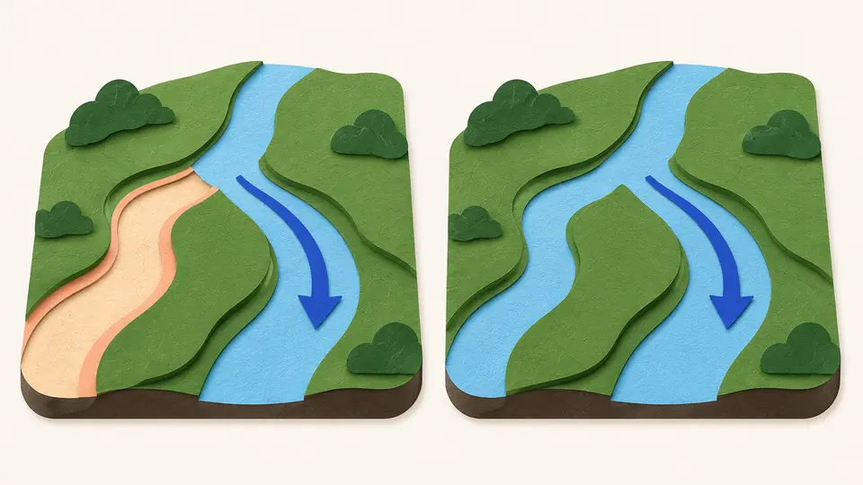
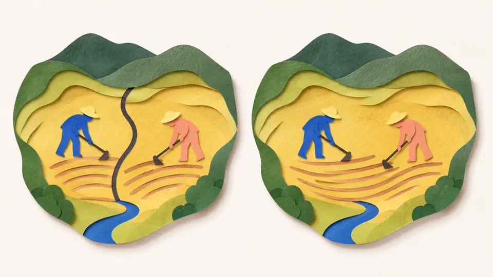
Geography & the World · Landscapes & waterways
River deltas and the people living on them
Follow sediment from a river into a delta, and see why flood protection, sinking land and rising seas can pull a coastal landscape in different directions.
What you will learn
- Explain how sediment deposition can build a river delta.
- See a delta as a changing sediment system rather than a fixed coastline.
- Explain how keeping a river in its channel can reduce the sediment reaching a delta floodplain.
- Use a comparison between places without assuming one fix solves every coastal problem.
Lesson 1 of 4 · 3 min
How does a river build new ground?
Around the world there's a river delta for roughly every 300 kilometers of shoreline. Each one is land that a river made.
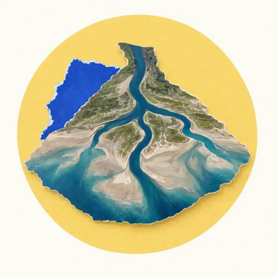
Take the Mississippi. It carries mud down through the middle of North America. Where it enters the Gulf of Mexico it slows and spreads out, loses energy and drops its load. Layer after layer, the deposits build a delta, new land at the mouth of the river.
Sediment is the loose material a river carries, mostly sand, silt and mud. Dropping it is only half the story. Waves, tides, currents and plants all affect where it stays.
So a delta grows only where the buildup can keep pace with whatever is carrying material away or lowering the surface.
Picture a building site where trucks deliver material while others cart it away. More deliveries won't raise the site if material leaves faster. A delta runs on the same balance.
The comparison stops there. No crew is in charge of a delta, and living plants are part of what holds it together.
A delta doesn't grow in one spot forever. As one part clogs with sediment, the front of the Mississippi's delta moves on to find new areas to fill. Over about 7,000 years the river has built six separate delta complexes this way.
So a map shows one stage of a landscape whose active channels keep shifting.
People depend on this ground. A delta blunts storm surge before it reaches the mainland. It shelters young sea life, and its soil filters toxins out of the water.
All of that rests on processes that keep going. Draw the coast as a fixed line and you hide the sediment deliveries and plant growth that hold it in place.
Cathleen Jones, a NASA scientist who studies the Mississippi Delta, says deltas "live in this balance between losing and gaining land."
So "rivers build deltas" is only a starting point. For any one stretch of coast, ask what's adding material, what's removing it and whether the ground itself is sinking.
Try to recallWhy is a delta better understood as a changing system than as a permanent pile of river mud?
Sediment arrives and is deposited or carried away, channels shift, and the surface can sink. The balance between these processes changes the coastline over time.
Lessons in this topic
How does a river build new ground?
See how a river drops sediment to build a delta, and why that land lasts only while the building keeps up with the losses.
Why a levee can starve the land it protects
Compare two neighboring Mississippi basins, one sinking and one growing, to see how keeping a river in its channel cuts off the sediment a delta needs.
What if the sea rises and the land sinks?
Separate a rising sea from sinking land, and see how both decide whether a wetland survives.
How fast must a wetland grow?
Turn a published sea-level rate into the height a wetland must gain, then meet the accidental delta that planners want to copy, and see what it does and does not prove.
Three quick stories from this topic
The accidental delta
A flood channel dug in Louisiana in 1942 has built a new delta about 5 miles into the Gulf
Engineers cut the Wax Lake Outlet to carry floodwater away from Morgan City. The river's mud came with the water. It filled Wax Lake completely and kept going, and the delta it made is now studied as a model for rebuilding the coast.
How a river makes land
Where a river meets the sea it slows, spreads out and drops the sediment it was carrying. Layer on layer, the deposits rise above the water.
Why planners watch it
Louisiana has a 50-year, $50 billion plan to protect its coast. Part of it is to cut new openings that send river sediment into sinking wetlands on purpose.
Sinking beside growing
The Mississippi Delta is sinking in one basin and growing in the basin next door
The Terrebonne Basin is engineered with levees and dug channels, which keep river sediment off its floodplain, and it is sinking. In the neighboring Atchafalaya Basin rivers still spread their mud, and land is growing. The plants and the climate are much the same.
Water and mud travel together
A levee that keeps floodwater in the channel also keeps in the sediment that water carries, so the land beside it stops being rebuilt.
Two timescales
A levee's protection shows up at once, in floods that don't happen. Its cost shows up slowly, as ground that sinks with nothing to replace it.
The Gulf Coast outruns the globe
Sea level on the US Gulf Coast is rising at three to four times the global average
NASA put the rate at 9 to 12 millimeters a year in 2021. The sea is rising and the delta land is sinking at the same time, so the water gains on the coast from both directions. A marsh has to build that much height every year just to stay put.
Why the coast outpaces the globe
Relative sea level combines rising water with sinking land. Delta sediments compact and subside, so the water gains on the surface faster than the global average alone would suggest. A wetland must build 9 to 12 millimeters of elevation a year just to hold its position.
Some deltas keep up
Landsat images from 1984 to 2017 record growth at the Wax Lake Outlet and Atchafalaya River deltas, where rivers still deliver sediment. Their growth shows what a sediment supply can do. The rate elsewhere depends on local sediment, plants and subsidence.
Sources
- Mississippi River Delta, NASA Earth Observatory
- Disappearing deltas: the Delta-X airborne mission investigates, NASA Earthdata
- Mississippi River Delta, Wikimedia Foundation
- Wax Lake, Wikimedia Foundation