Geography & the World · Landscapes & waterways
Rivers from source to sea
Follow a river from the ridges that feed it to its mouth. Learn what a drainage basin is, why rivers meander and flood, what levees can't stop, and how one river cut the Grand Canyon.
What you will learn
- Explain how a drainage divide decides which river a raindrop joins
- Describe how tributaries nest small basins inside larger ones
- Explain how a river's speed decides whether it erodes, carries or drops sediment
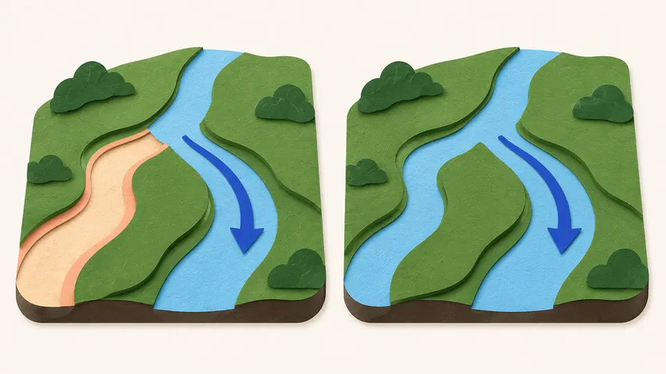
- Explain why a meander wears away its outer bank and builds its inner bank
Lesson 1 of 4 · 4 min
Every raindrop belongs to a river basin
High in Wyoming's Teton Wilderness, a creek reaches a mountain pass and splits in two. One branch, Pacific Creek, heads west toward the Pacific. The other, Atlantic Creek, heads east and ends up in the Gulf of Mexico. A few steps decide which ocean the water reaches.
The land that sends all its water to one river is that river's drainage basin. North Americans also call it a watershed. Rain that lands anywhere inside it runs downhill through soil and streams until it reaches the same river and leaves by the same mouth.
The edge of a basin is a drainage divide, a line of high ground such as a ridge or a row of hills. Water on either side flows away in different directions. On flat, marshy ground a divide can be hard to see, but it's still there. The largest, the continental divides, separate rivers that reach different oceans.
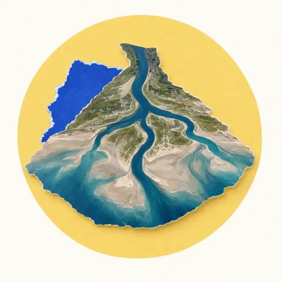
Follow a big river upstream and it keeps splitting. A stream that flows into a larger one is a tributary, and the place where two streams meet is a confluence. Each tributary drains its own small basin, so basins sit inside bigger basins like branches on a tree.
The Mississippi shows how far this reaches. Its basin covers all or part of 32 U.S. states and two Canadian provinces. The Missouri and the Ohio join it, each fed by thousands of creeks, and all that water leaves through one mouth in the Gulf of Mexico.
Whatever the water picks up on the way travels with it. Soil and farm fertilizer washed off a field far upstream can end up at the river's mouth.
Not every basin reaches the sea. In a closed basin, water flows inward to a lake, a salt flat or dry ground where it evaporates or soaks away. The Caspian Sea and the Great Basin of the western United States both sit in closed basins.
Try to recallWhy can fertilizer washed off a field far up a river basin affect the water at that river's mouth?
The field drains into a small creek, which is a tributary of a bigger stream. Tributaries keep joining until they reach the main river, and the whole basin leaves through one mouth. So whatever the water carries from the field ends up there.
A river drains a whole basin, outlined by its divides. Find the divides and you know which rain a river collects, and which towns along its tributaries send their water past the towns at its mouth.
Lessons in this topic
Every raindrop belongs to a river basin
Learn how ridges decide which river a raindrop joins, and how small streams feed into ever larger basins.
How a river cuts valleys and builds plains
See how a river's speed decides what it wears away and what it drops, and why its bends wander across a valley.
Why rivers flood and what levees can't stop
Learn why a floodplain belongs to the river, what a 100-year flood really means, and how walls along a river can make the worst floods worse.
How the Colorado River cut the Grand Canyon
See how rising land gave one river the power to cut more than a mile down, and why geologists still argue about how long it took.
Three quick stories from this topic
The 100-year flood odds
A home in the 100-year flood zone has about a 26% chance of flooding in 30 years
The 100-year flood has a 1% chance in any single year, and those chances add up. Over the length of a 30-year mortgage, the odds of at least one reach about one in four.
Not a schedule
The name describes a long-run average. Two 100-year floods can arrive in back-to-back years.
Why the U.S. uses it
In the 1960s the U.S. government chose the 1% flood as the basis for its national flood insurance program.
The creek that splits
A Wyoming creek splits in two and sends its water to two different oceans
At Two Ocean Pass, North Two Ocean Creek divides into Pacific Creek and Atlantic Creek. One branch's water travels about 1,353 miles to the Pacific, the other's about 3,488 miles to the Gulf of Mexico.
Right on the divide
The creek runs along the Continental Divide, the high ground that separates rivers draining to the Pacific from those draining to the Atlantic.
Why it's so rare
Divides usually sit on ridges, so water picks a side before it forms a stream. Here a creek reaches a flat pass and splits.
Lava dams in the canyon
Lava once dammed the Colorado River in the Grand Canyon at least 13 times
Starting about 630,000 years ago, lava poured over the North Rim into the canyon. One lava dam stood over 2,000 feet high, taller than today's Glen Canyon Dam.
Short-lived walls
Water pooled behind each dam until it poured over the top, then the river cut through the weak rock.
Floods on the way out
Geologists have found evidence of huge outburst floods in the western Grand Canyon from dams giving way.
Sources
- Parting of the Waters, Wikimedia Foundation
- Drainage basin, Wikipedia
- Drainage divide, Wikipedia
- Tributary, Wikipedia
- Mississippi River, Wikipedia
- 100-year flood, Wikipedia
- 100-Year Flood, It's All About Chance (General Information Product 106), U.S. Geological Survey
- Grand Canyon geology, U.S. National Park Service