Geography & the World · Maps & navigation
Latitude and longitude
Two numbers pin down any spot on Earth. See what latitude and longitude measure, why the equator is natural and the prime meridian was chosen, and how to read coordinates on a map or phone.

What you will learn
- Explain latitude as an angle north or south of the equator, which Earth's spin fixes
- Explain longitude as an angle east or west of a chosen meridian, and why its degrees shrink toward the poles
- Convert between degrees and minutes and decimal degrees, using signs for direction
- Read a coordinate pair in the right order and judge its precision from its decimal places
Lesson 1 of 4 · 4 min
Two angles that pin down any place
Earth spins around an axis, and that axis meets the surface at the North and South Poles. The equator is the circle exactly halfway between them. Nobody chose it. The spin put it there.
Your latitude is how far north or south of the equator you are, measured as an angle from Earth's center. The equator is 0 degrees and each pole is 90 degrees. Every place at the same latitude sits on one ring called a parallel.
Parallels never meet, so they stay evenly spaced. Each degree of latitude covers about 111 km of ground. The sky gives latitude away, too. The North Star's height above the horizon equals your latitude in the Northern Hemisphere.
Now run lines from pole to pole, like segments on an orange. Each one is a meridian. Your longitude is the angle east or west of one chosen meridian, up to 180 degrees each way.
Here the planet gives no help. Every meridian is the same shape and none is special, so people have to pick a zero line. The one in use today runs through Greenwich, in London.
Meridians all meet at the poles, so the gap between them shrinks as you go north or south. A degree of longitude is about 111 km at the equator, 56 km at 60 degrees and nothing at the pole.
Try to recallWhy can latitude be found from the North Star alone, while longitude needs a starting line that people agree on?
Latitude starts at the equator, which Earth's spin fixes halfway between the poles, so the sky can tell you how far from it you are. Every meridian is alike, so there's no natural zero for longitude. People had to choose one and agree to measure from it.
You now know that latitude is an angle from the equator, which the spin of Earth fixes, and longitude is an angle from a meridian that people chose. You also know why a degree of longitude shrinks to nothing at the poles.
Lessons in this topic
Two angles that pin down any place
See why latitude has a natural starting line at the equator, why longitude doesn't, and why lines of longitude crowd together at the poles.
How to read the numbers on your phone's map
Learn to turn degrees and minutes into the decimals a phone shows, tell north from south by a minus sign, and judge how precise a coordinate really is.
Why zero longitude runs through Greenwich
See how mapmakers used many different zero lines for centuries, why a vote in 1884 settled on Greenwich, and why your phone's zero sits 102 meters away from it.
How measuring a degree revealed Earth's bulge
See how walking off one degree of latitude gives the size of the whole Earth, and how two 1730s expeditions used it to prove the planet is squashed at the poles.
Three quick stories from this topic
The Lapland degree
A 1730s survey in Lapland proved Earth is squashed at the poles
French surveyors measured one degree of latitude near the Arctic and found it longer than one in the Andes. A longer degree means flatter ground, so the planet must bulge at the equator.
Newton against Cassini
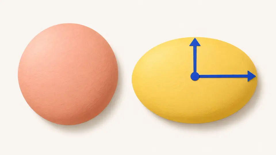
Cassini's surveys hinted at an egg-shaped Earth. Newton argued a spinning planet should bulge at its middle.
How big the bulge is
Earth is about 21 km wider through the equator than from pole to pole, because it spins.
Null Island
Lost map data piles up at Null Island, a spot in the open Atlantic with no land
Null Island sits at 0 degrees latitude and 0 longitude, about 600 km south of West Africa. Software often turns a missing coordinate into zero, so broken records land there.
A joke that works
Mappers named the empty spot as a joke. Now they use it to find and fix records that were given 0, 0 by mistake.
Where zero meets zero
It's where the equator crosses the prime meridian, over seabed nearly 5 km deep.
Greenwich's moved zero
Your phone puts zero longitude about 102 meters east of Greenwich's famous line
Visitors straddle the brass line at the Royal Observatory, but their phones read slightly east of zero there. The old line was set with a plumb line that local gravity pulls a little off true.
Two zero lines
Since 1984, the world's zero has been the IERS Reference Meridian, set from Earth's center using satellites and distant radio sources.
Why it shifted
Gravity from nearby ground tilted the old plumb line by a tiny angle. At Greenwich's latitude that tiny angle is about 102 meters.
Sources
- What is latitude?, NOAA National Ocean Service
- Geographic coordinate system, Wikipedia
- What is longitude?, NOAA National Ocean Service
- What is the Prime Meridian, and why is it in Greenwich?, Royal Museums Greenwich
- French Geodesic Mission to Lapland, Wikipedia
- Arc measurement, Wikipedia
- Null Island, Wikipedia
- Prime meridian, Wikipedia